The Road
In the retirement homes of Whitehorse, in quaint bungalows on quiet side streets, in little cabins overlooking lakes, the last memories of 1942 are fading.
As it passes out of living memory, the story of the highway, its construction, its impact, congeals. We are left to archives, books and museums to piece together a narrative.
So, what is the story we hear? The story that is most often shared?
An epic project
“Few construction projects of the twentieth century match the building of the Alaska Highway from 1942 to 1945,” wrote Ken Coates in 1982.
The historian is one of the foremost academic experts on the highway. He grew up in the territory, earned a PhD in Yukon history and wrote four books about the road. As Coates points out, the scale of the project was immense.
On the surface, it was, as Coates put it, a “friendly invasion.” Thousands of troops landed on sovereign Canadian territory and started building a road through perilous lands.
It was an international story of epic proportions. The contextual problem is, that this is where the story usually starts.
It starts with the Americans.
After the Pearl Harbor attack in December 1941, the U.S. was concerned with protecting the western flank of North America from Japanese attacks.
February 12, 1942, against the advice of the War Department, which thought it a poor use of resources, U.S. President Franklin D. Roosevelt authorized a road connecting Alaska to the lower states. The Canadian government was told of the plan on Feb. 13 and approved it the same day, not daring to rile the monolith to the south.
So soldiers came and built a road. A 2,700-kilometre-long winding, bumpy, gravel feat of American grit and engineering, bisecting Yukon’s boreal forest.
The scale, timeline and location has since made this story a touristic romantic darling.
There had been talk of a road since the gold rush and a Canadian committee investigated potential routes for the highway in 1941.
“There seems no doubt that the Kluane Lake alternative,” the committee noted, “would benefit the Yukon as a whole to only a small degree unless extensive secondary roads were built.”
However, this would be the route chosen the following year, with little to no thought for the land’s inhabitants, First Nation and settler alike.
The local front
There are 14 First Nations in Yukon.
The highway slices through the traditional territories of eight of these nations.
These include:
- Teslin Tlingit Council
- Kaska Dena Council
- Carcross Tagish First Nation
- Kwanlin Dun First Nation
- Ta’an Kwach’an Council
- Champagne and Aishihik First Nations
- White River First Nation
- Kluane First Nation
While First Nations in southern Yukon had been dealing with white traders for more than a century by 1942, the territorial population had stayed at about 4000-5000 people since the end of the First World War.
This all changed with the highway.
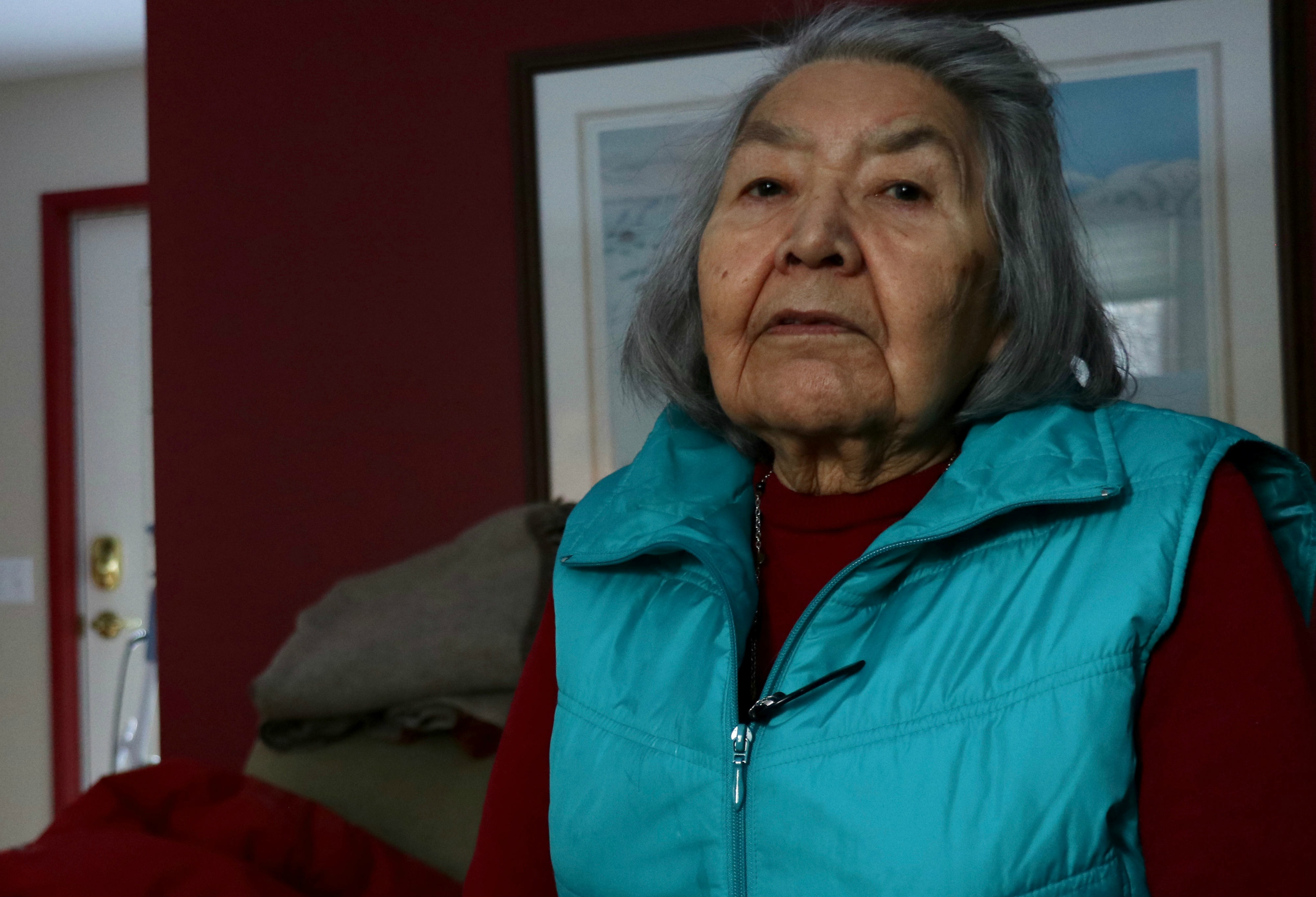
“Indian people were really scared.” said Bessie John, a White River First Nation elder, in 1992. She spoke about the highway at a community conference in Whitehorse. “When the English people go through our territory, they should let us know,” she said.
John was in her late teens when the highway passed through the Snag, Beaver Creek, Scottie Creek area in Western Yukon.
“People were scared because, of course, they knew that a war was on, but what did a war mean?” Said Linda McDonald, a Kaska woman from Watson Lake, at the same conference. “Kaska people had never experienced a war like that.”
“They hadn’t been given any information, so they didn’t know if they were going to be killed, and then women would take off with the kids,” said McDonald.
There wasn’t much effort on the part of the American or Canadian governments to notify citizens of road plans. There was little coverage in the local newspapers and the U.S. government encouraged the Canadians to refrain from publicizing the endeavour. It was, after all, a war effort. Locally, rumours of a highway were rampant, but then again, a road to Alaska had been rumoured since the gold rush.
Suddenly, one April morning, with the regular train in from the coast, hundreds of soldiers flooded Whitehorse, which had at that point about 750 people. Soon there would be three battalions of engineers and a military command centre in the little industrial town on the river.
Frances Woolsey was a preteen when the soldiers descended on Whitehorse. Her father was a prospector who spent long stretches of time at Livingstone Creek, a placer gold-rich area about 80 km northeast of Whitehorse
Woolsey, her brothers and her parents lived in Whitehorse.
“The soldiers were everywhere,” she said, “and they’d bring the booze, and people would invite them into their homes. That was the way it went.”
“After a while Dad said, I’m going to go to Livingstone, and you’re all going to come with me,” says Woolsey, “We stayed there until the war was over.”
Like many locals, Woolsey’s family retreated, but even in the woods, the furor could follow.
“Close to first of the month, we come back, first day of June,” said Margery Jackson, a Tlingit elder, at the 1992 community conference, “We just come back three miles this side of Champagne, I don’t know what’s the matter, just all over, just like a bear come around, you know, bulldozer.”
Champagne, on the Dezadeash River, North of Whitehorse, was an important meeting and trading place for First Nations, and remains culturally important to this day.
McDonald wasn’t yet born when the highway came through Watson Lake, but both her parents lived through its construction, and told her stories. “There was so much activity and it was just overwhelming, all the noise and all the men. It was so confusing,” said McDonald.
“They’d try to go hunting and think they’d gone far enough, but would hear crashing and banging in the woods.”
The soldiers bumbling through the woods, unaccustomed to the cold, the mosquitos, the massive rivers, weren’t just an innocuous inconvenience.
Soldiers had little regard for previous settlements, especially if they weren’t white. They would rob grave sites, take First Nation people’s possessions, and bulldoze their homes.
“We got the place to stay up at Canyon Creek, we got seven houses,” said Jackson, “great-grandma got a house there too, her sister too got house, and Johnny got a house, and grandma a house, my mother, my brother, seven houses gone right there. Everything in sight, just push it out, and an army camped there.”
“If this time it could’ve been, just go after them, get the lawyer for it and get some money for it, but we don’t get nothing for it. Nothing.”
“Everything that’s in sight is gone,” she said.
Guides through a perilous land
The road was a hastily concocted scheme by people with little to no knowledge of the land. The road not only crossed the northern Canadian Rockies, but over major rivers such as the Dease and the Yukon, through muskeg and permafrost, and around the Saint Elias Mountains, which count among them Mount Logan, the highest peak in Canada.
While preliminary surveys had been conducted and rudimentary trails existed in some areas, for the most part, they were building the road from scratch. The U.S. Army went to the people who knew the land best, and requisitioned, or rather demanded, help.
“They got to just south of Steamboat Mountain,” Linda McDonald told the conference audience in 1992, “and they needed to know the best way to get through the mountains.”
So, like they did all along the corridor, they recruited a local Kaska guide.
This guide happened to be Charlie McDonald, Linda’s uncle.
“Uncle Charlie was a really wise man,” Linda told me. She would be born to his younger brother several years later, and as the youngest girl of more than 10 children, she had a close relationship with her uncle.
“The Kaska are a very giving people,” said Linda in 1992, “and Uncle Charlie was a very kind man.”
Charlie McDonald, with some assistance from Linda’s father Peter, would lead the survey team from Fort Nelson, through the northern Rockies, around Muncho Lake, and Linda says, all the way to Watson Lake.
“Muncho Lake area was very prosperous and beautiful, and my Dad and Uncle Charlie were hospitable folks, so they never thought what the highway could lead to,” said McDonald at the conference. She pondered aloud if the men would have led the army through if they’d known.
All along the highway, First Nations helped set the course of the road. The dots were determined in Washington, the general direction by aerial survey, but often, it was down to the men on the ground to connect them.
The people who died in ‘42
Anthropologist Julie Cruikshank spent more than a decade working with First Nations in southwestern Yukon, specifically dealing in oral histories. In the 1970s, she gathered testimony on the social effects of the highway construction on local people, and subsequently wrote a paper for the 40th anniversary of the highway titled, “The Gravel Magnet.”
“Any discussion of genealogies or old family photographs leads to commentary on people who “died in ’42” or people who became ill during or after the construction,” wrote Cruikshank.
“One woman who lost a daughter in 1942 recalled a family who tried to leave Whitehorse to return home to Champagne. One of their children died 13 kilometres from Whitehorse. In panic, they hurried back to Whitehorse. Another child died that afternoon. By evening they had lost a third,” she said.
Epidemics had swept through the territory before, but rarely did they have the effective vectoral path that the highway provided. First Nation people were particularly susceptible to the diseases brought in by the outsiders. When the army suffered only one minor epidemic, due to a contaminated vaccine, hundreds of First Nation people fell ill to, “Measles, dysentery, jaundice, whooping cough, mumps, tonsillitis and meningitis,” according to Cruikshank.
In Teslin, 128 of the 135 residents had measles at once. In 1942 and 1943, among First Nation people, death rates were higher than birth rates, though due to poor enumeration, and First Nations people retreating into the bush, exact numbers are difficult to find.
An influenza outbreak hit Watson Lake, and was particularly hard on the elderly, “My mom told me we lost all our grandmothers, all at once,” said McDonald.
The highway and Together Today for Our Children Tomorrow
The first iteration of the Alaska Highway began construction in April 1942, and the so-called “pioneer road,” was finished by October 25, that same year. But come spring, floods washed away road sections, and the entire road had to be rebuilt by the civilian contractors who had followed behind the army.
In 1943, the Public Roads Administration employed more 14,000 workers in the Northwest. Jobs were easy to find, and lucrative, and at this point, many First Nations men turned to classic wage labour that year, instead of trapping and hunting.
In 1973, Chief Elijah Smith of the Yukon Native Brotherhood, precursor to the present Council of Yukon First Nations, presented “Together Today for Our Children Tomorrow” to then Prime Minister Pierre Trudeau.
The document outlined the grievances First Nations in Yukon held with the colonial government, and proposed solutions to benefit future generations. This would be the beginning of a decades-long land claims process between the Canadian Government, the Yukon Government and the First Nations. Six of the eight First Nations along the Alaska Highway settled their land claims between 1995 and 2006, and are today self-governing. White River and Kaska Dena First Nations have, so far, opted to not sign land claims.
In the document, grievances associated with the highway construction had their own section. These included offering First Nations people money and jobs to leave the bush while the war was ongoing, but leaving no means of support once everyone had left.
“The money left with the Americans. The traps were rusted and the cabins in need of repair. Many did not go back to the traplines. Some of us moved into shacks on the edge of White communities, and there were no jobs,” says the document.
The bureaucratic machine of government followed soon after.
“Then came Indian Affairs. They made up the Band lists. Then came welfare. They invented the Indian Village,” says the document, “this made it easier for administration.”
This bureaucratic influx included removing more children from their families to be put in residential schools. With roads, Indian agents could access the children, and with the Family Allowance Act of 1944-45, there was monetary compensation for registering children in school. In 1946, 438 children were registered as Indians the Yukon.
Cruikshank wrote in The Gravel Magnet, “From 1942 to 1949, the number of schools rose from two to eight and the Indian students from 26 to 227. During the same time period, welfare expenditures by the Indian Affairs Branch doubled.”
This also contributed to language loss, “For a variety of reasons–especially compulsory schooling–most people born after the construction of the Alaska Highway in 1943 learned English as a first language,” wrote Cruikshank in The Social Life of Stories.
In 1977, the Canadian government conducted an inquiry into the potential repercussions of building a pipeline following the route of the highway. Investigations included testimonies from people affected by the construction of the Alaska Highway.
“Older people identify ‘the highway’ as the time when traditional institutions began to break down,” Cruikshank wrote, “Older Natives overwhelmingly maintain that the highway brought alcohol abuse and an alarming amount of violence, grief and further social disruption.”
Georgina Sidney, a Teslin Tlingit woman testified to the social disruption of the highway at the 1977 Alaska Highway Pipeline Inquiry, “People worked together here, they hunted together, they took care of each other. Now, no one is taking care of it, and the next-door neighbour – they don’t care.”
As time went on during the highway’s construction, overhunting became a problem in southwestern Yukon. So the government established Kluane National Park and Reserve, over the hunting and trapping grounds of the Champagne and Aishihik, White River, and Kluane First Nations, preventing them from hunting in their traditional territory and severely diminishing their ability to hunt for subsistence.
Indian Affairs acknowledged at the time that the local animals had been decimated by American soldiers and, “The Indians, therefore, who from time immemorial had hunted and trapped over the area without decimating the supply of big game animals have now to bear the brunt of rehabilitation.”
According to Cruikshank, the effects of not being able to hunt on the game reserve were amplified once the jobs from the Americans dried up.
Not all bad
I was seven years old when the highway came through Teslin,” said Sam Johnston, a former chief of the Teslin Tlingit Council, at the 1992 conference.
“The main transportation back then was all water, a trip to Whitehorse used to be five days –two days down, three days back,” he said, and once you got to Whitehorse, there were soldiers everywhere. “A lot of people talk about the good old days, but it’s easier to get a lot of stuff,” he said.
We can get fresh milk, eggs, meat, and vegetables in our stores at a reasonable price, which, especially in the North, should not be taken for granted.
Many people noted during the 1977 inquiry, First Nations and settlers alike, that the highway meant ready access to wider resources, and enabled travel to visit relatives. Today it drives tourism, which is the largest private sector employer in the Yukon, including cultural centres.
According to Tourism Yukon’s 2016 report, visitors spent $303 million in the territory over the period of the previous year alone. Much of this was along the highway in the communities of Watson Lake, Teslin, Whitehorse, Haines Junction, Burwash Landing and Beaver Creek.
But the problem is what draws these people, what we sell them, is incomplete.
The more complex, darker narrative, is a harder sell. It is a dilemma for the tourism industry, balancing a flashy story with a difficult truth. But what are we willing to ignore for the sake of an amused tourist?
None of this information is new. Julie Cruikshank published “The Gravel Magnet” 36 years ago.
These stories have been around for 76 years.
So why aren’t we hearing them?